Image courtesy of Nuestro Stories.
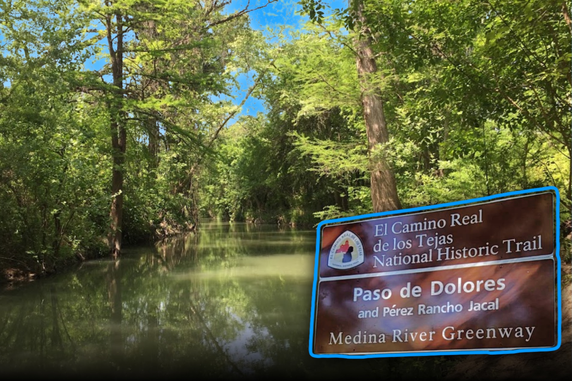
Tucked into the lush foliage and wildlife of the Medina River Natural Area is the Dolores-Applewhite Crossing, also known as El Paso de Dolores. The crossing was an area used for crossing during the Spanish colonization of the Southwest, a bigger part of the “royal roads” or caminos reales that led back to Mexico City.
The Spanish first established missions in the area in 1690 to convert the Caddo, the indigenous to the site, into catholicism. A little less than three years after the missions were established, following the theme of Spanish colonizers who originally arrived in the area, an outbreak of smallpox began to spread through the area.
The Caddo tribe then gave the Spanish one warning — to leave, or die. The Caddo forced the Spanish to retreat across the Rio Grande. They returned, however, in 1716, in another attempt to convert the indigenous. Much like the first attempt, the return failed to convert. Abandoning the attempt, the Spanish built a fort in Los Adaes, which served as the capital of Texas (the iteration under the Spanish rule) until 1770.
However, Los Adaes was fairly isolated from trade and made it a true struggle for the Spanish fort to stay afloat. Due to the Caddo’s extreme levels of self-sufficiency, and their ability to trade with the French, who had an outpost not far from their lands, the Spanish eventually abandoned three of their missions in East Texas. They relocated them all to San Antonio.

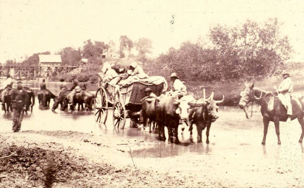
El Paso de Dolores, or the Dolores-Applewhite Crossing, was a central crossing point of El Camino Real de Los Tejas that allowed for the safe passage of any who crossed it. It continued to maintain its importance during the war of Mexican Independence in 1821, acting as the route many of the cattle ranchers from Mexico used to establish their ranches along the Rio Grande. It was also used by many Anglo colonizers who utilized the route as they made their way to what they believed to be their new homes.
Eventually, those same Anglo colonizers led a revolt against Mexico. The road, and El Paso de Dolores, were in use until the mid-1840s, when the United States annexed Texas, cutting off the need for the route.
In its current incarnation, the Dolores-Applewhite crossing still shows wheel tracks from the people who moved across the route, as the path stayed fairly preserved after it was no longer in use.
Fun facts:
- The Paso de Dolores, as it was known, was first identified from the 1808 field notes of the Ygnacio Perez four-league land grant on the southern bank of the Medina River. Later, the crossing came to be associated with the mid-nineteenth-century Perez and Applewhite roads.
- The Dolores-Applewhite Crossing is located at 15890 Hwy 16 S, San Antonio, TX.
- The Dolores-Applewhite Crossing is considered one of the prime examples of riparian habitats in the United States. A riparian habitat is the proper term for a biological community that forms in response to a shared regional climate, also known as a terrestrial biome.
- You can still see the wheel ruts from the wagons that crossed the trail those hundreds of years ago.
Things to Know Before You Go:
- There are campsites and pavilion rentals available along the trail, which you can find out more about here.
Location: Texas, United States.
Address: 15890 TX-16, San Antonio, TX 78264, United States
Google 360-view: Traverse the Dolores-Applewhite Crossing here.


